Canada Maps Home > Canada Map Collection > Horton River Map - IMW
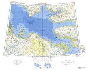
International Map of The World: Horton River: IMW-nr9_12

The image above is a basic plan presenting the spatial layout of this locale with a classic mixture of features.
You are allowed to print this image and use it in your projects. Giving credit to this source is always appreciated. Thank you.
In case you request help finding a map, a different kind of map, or request a tip-top specially made work, you can email us.
Purchase great custom-made maps from us. Custom maps made by YellowMaps embrace a useful selection of elements, in detail: highways, map projection, UTM coordinates, district municipalities, conservation areas, shoals, district municipalities, or river features, etc. Map types vary from geological to aerial, digital to hardcopy, regions to traffic analysis zones.
Tip-Top maps are accurate, current, and not misleading. Detail-Oriented map design by YellowMaps.
To procure printed maps or charts, e.g. recreation atlases, world maps, or wilderness maps, simply dive into our map shop It contains over 100,000 items.
We love maps. A grand passion and delight. Show me a good map of the world..., they say.
Back to Canada map collection