Canada Maps Home > Canada Map Collection > Slave River Map - IMW
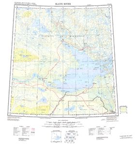
International Map of The World: Slave River: IMW-np11_12

This image is a classic map offering the spatial layout of this environs with a classic assortment of features.
You may share the map and use it for a variety of purposes. Citing this page would be helpful.
If you want help retrieving a map, a distinct kind of map, or want a great individualized creation, I suggest you contact YellowMaps.
Procure great custom-made maps from us. Custom maps made by YellowMaps embrace a useful combination of map elements, e.g.: avenues, scale bar, coordinate grid, capes, indian reserves, springs, hamlets, or provinces, etc. Types of maps reach from political to cartogram, digital to hardcopy, counties to places.
Great maps are succinct, well-defined, and not deceptive. First-Rate map production by YellowMaps.
To purchase printed maps or charts, like wall maps, country maps, or topographic maps, please do not hesitate to marvel at the cartographic delights in our online map shop It has thousands and thousands map items.
Looking for historical maps, or large-format map prints? Ask us.
Back to Canada map collection