Canada Maps Home > Canada Map Collection > Prince Albert Map - IMW
International Map of The World: Prince Albert: IMW-nn13
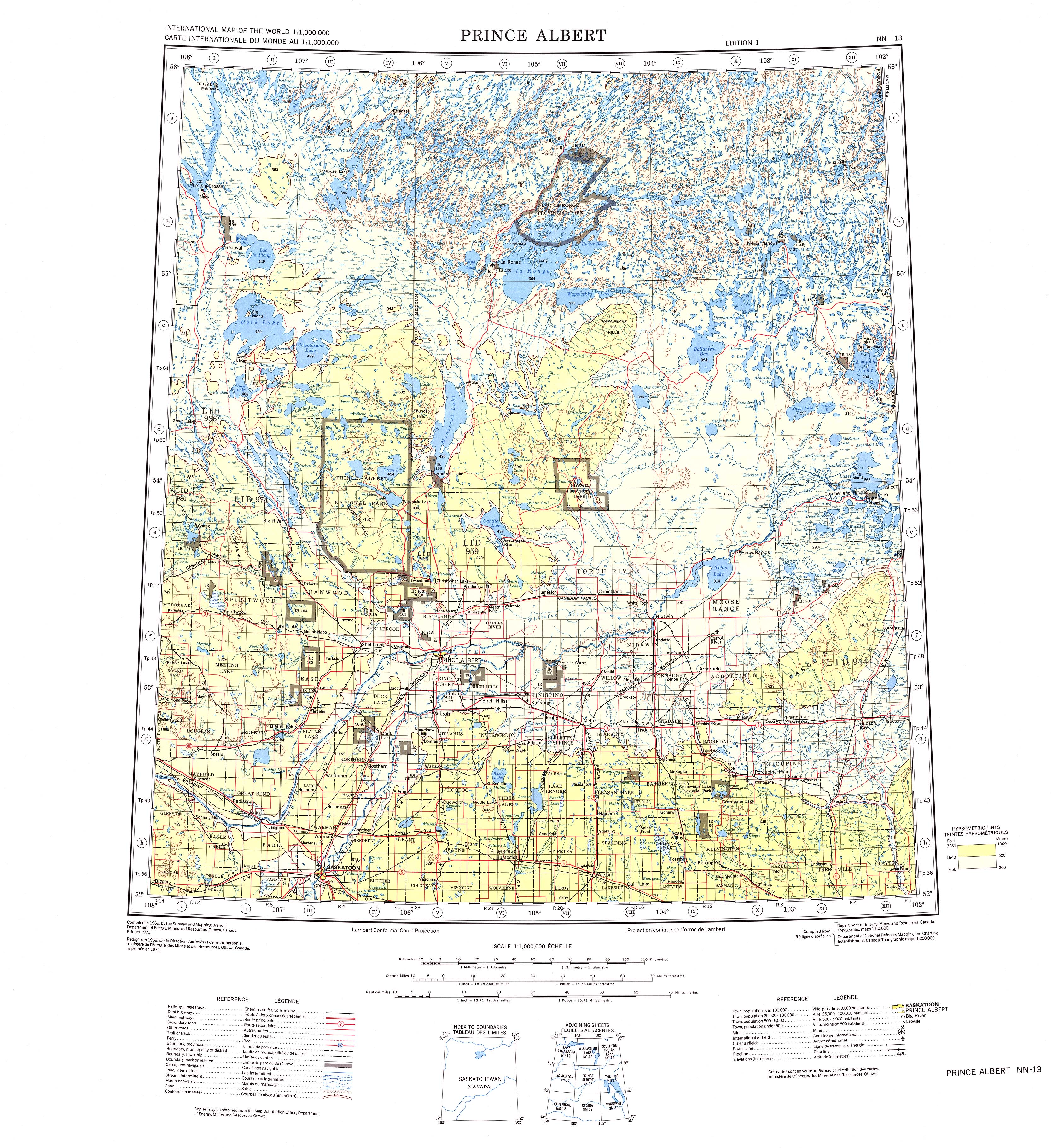
The map above is a simple plan presenting the geography of this scene with a basic group of map elements.
You may print the map file and take advantage of it in your work. Citing this page would be our request.
In case you want aid finding a map, a special kind of map, or want a high quality made-to-your-specs map, quickly email us.
Acquire suitable individualized maps from us. Cuztomized maps by YellowMaps embrace a generous selection of map components, in detail: avenues, map projection, coordinates, bays, marine navigation features, territories, cliffs, or rapids, etc. Map types run from scientific to raised-relief, digital to hardcopy, census blocks to public use microdata areas.
High Quality maps are specific, up to date, and not unclear. Skillful map production by YellowMaps.
To procure paper maps, such as navigational charts, attractions maps, or maps for canoeing, please do not hesitate to pay a visit to our map store We carry thousands and thousands map products.
Please ask us about volume discounts. We might be able to give you a deal.
Back to Canada map collection