Canada Maps Home > Canada Map Collection > Manitoba Map
Printable Map of Manitoba
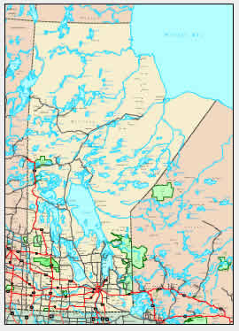
The map above is a basic drawing that displays the geography of this region with a plain medley of elements.
You may store the map and make use of it in your research. Giving credit to this source would be helpful.
If you are looking for assistance getting a map, a different kind of map, or are looking for a tip-top personalized cartographic design, you can contact YellowMaps.
Purchase first-rate made to your specs maps from us. Our custom-made maps cover a sizable array of map elements, such as: highways, altitude info, coordinates, campsites, miscellaneous features, sea features, cliffs, or river features, etc. Map types range from physical to terrain, printable to printed, world to zip code.
Tip-Top maps are precise, current, and not misleading. Skillful cartography by YellowMaps.
To order physical maps, e.g. recreation atlases, folded maps, or maps for kayaking, you can browse our online map shop We have a collection of more than 100,000 map products.
Mapping the world. One step at a time.
Back to Canada map collection