Canada Maps Home > Canada Map Collection > Map of Yukon Territory
Printable Map of Yukon Territory
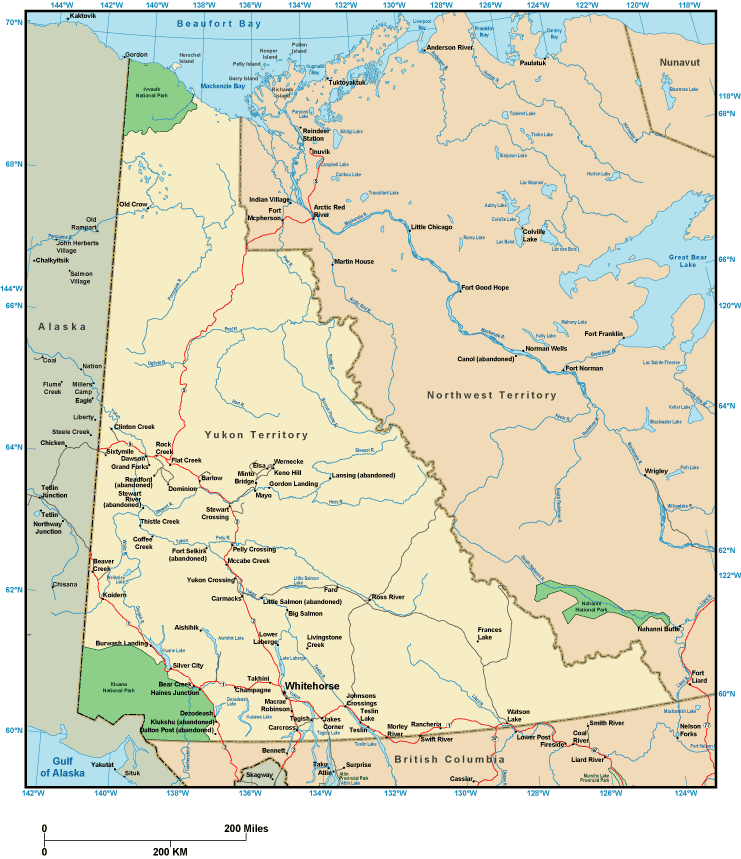
Above is a simple picture setting out the locations of this environs with a simple selection of features.
Of course, you may store the map and take advantage of it in your projects. Giving credit to this source would be awesome.
Supposing you are hoping for help getting a map, a particular map, or are hoping for a good custom-built work, quickly email us.
Purchase suitable custom-made maps from us. A tailor-made product produced by us consist of a huge collection of map components, for example: boulevards, elevation information, UTM coordinates, caves, miscellaneous features, seas, hamlets, or rivers, etc. Map types range from highway to tourism, printed to electronic, census tracts to planning regions.
Good maps are exact, all-encompassing, and not out-of-date. Fine cartography by YellowMaps.
To buy physical maps, like recreation atlases, attractions maps, or wilderness maps, simply marvel at the cartographic delights in our map shop There, you will discover thousands and thousands map products.
Mapping the world. One step at a time.
Back to Canada map collection