Canada Maps Home > Canada Map Collection > Map of Quebec
Printable Map of Quebec
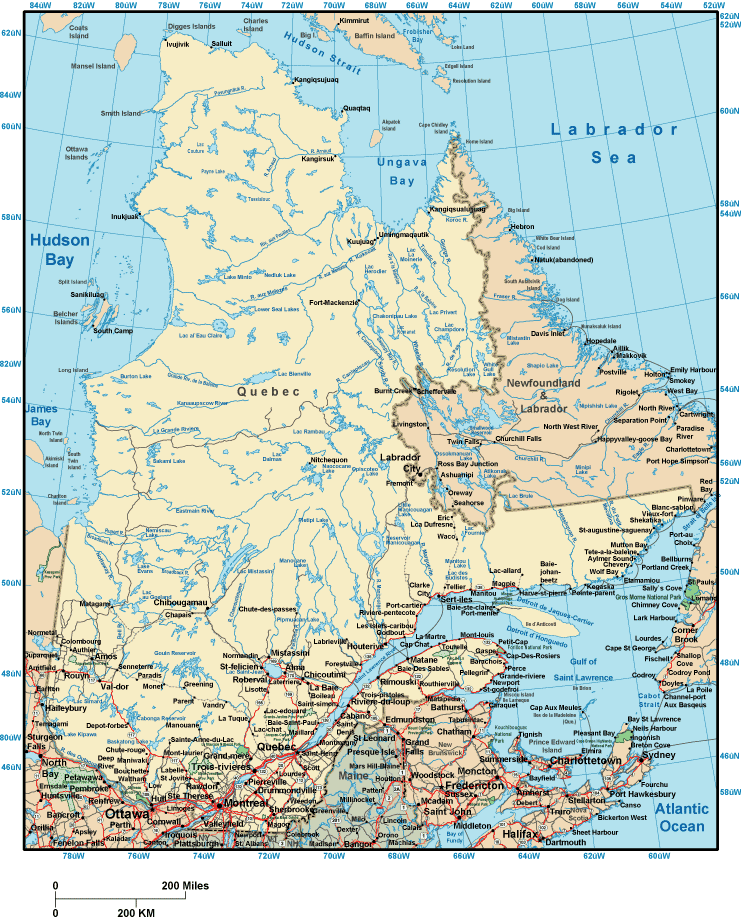
This map is a basic figure revealing the geography of this area with a basic assortment of features.
Of course, you can view the map file and take advantage of it for a variety of purposes. Linking back to this resource would be awesome.
In the event you are hoping for aid finding a map, a particular map, or are hoping for a tip-top custom-made product, you can contact our map specialists.
Acquire good personalized maps from us. Our custom-made maps embrace a wide assortment of map elements, like: alleys, scale bar, GPS coordinates, cities, miscellaneous features, unincorporated areas, falls, or plains, etc. Types of maps reach from highway to contour, printed to electronic, state or province to school districts.
Tip-Top maps are clear, up to date, and not obsolete. Finest map-making by YellowMaps.
To order hardcopy maps, such as road atlases, country maps, or hiking maps, you can marvel at the cartographic delights in our map shop It contains thousands and thousands maps.
A lot of our maps get printed on-demand. They are always available.
Back to Canada map collection