Canada Maps Home > Canada Map Collection > Map of New Brunswick
Printable Map of New Brunswick

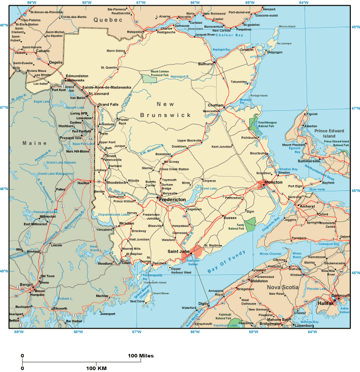
Above, you can see a plain projection that displays the spatial relationships of this neck of the woods with a plain medley of map components.
Of course, you may print this map and utilize it in your work. Citing this page would be considerate and well thought of.
In the case that you call for support finding a map, a distinct kind of map, or call for a suitable custom-made preparation, simply contact us.
Order tip-top tailor-made maps from us. A tailor-made product produced by us contain a large array of map elements, for instance: streets, map projection, coordinate grid, cities, islands, towns, forests, or railway features, etc. Map types range from political to blank, travel to research, world to state legislative districts.
Suitable maps are clear, clear-cut, and not deceptive. First-Rate map production by YellowMaps.
To procure paper maps, for instance backroad mapbooks, country maps, or maps for exploring, you can marvel at the cartographic delights in our online map shop It has thousands and thousands map products.
We make and retail maps. And we love it.
Back to Canada map collection