Canada Maps Home > Canada Map Collection > Map of Eastern Canada Terrain
Printable Map of Eastern Canada Terrain
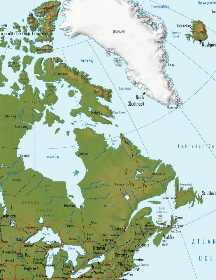
On top you have a classic picture demonstrating the geography of this neighborhood with a simple combination of features.
You can download this web page and work with it for many purposes. Giving credit to this source is always appreciated. Thank you kindly.
In the case that you need assistance acquiring a map, a different kind of map, or need a great individualized cartographic design, just email us.
Purchase nice custom maps from us. A custom map made by us contain a wonderful combination of features, like: trails, elevation information, coordinates, district municipalities, miscellaneous features, springs, geographical areas, or recreational sites, etc. Map types vary from regional to tourism, digital to hardcopy, world to school districts.
Great maps are precise, well-defined, and not misleading. Fine map-making by YellowMaps.
To order physical maps, for instance wall maps, attractions maps, or maps for kayaking, you can go to our map shop We carry tens of thousands maps.
Looking for historical maps, or large-format map prints? Ask us.
Back to Canada map collection