Canada Maps Home > Canada Map Collection > Map of Canada Terrain
Printable Map of Canada Terrain
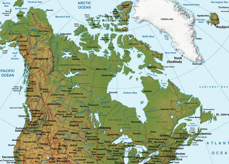
The image above is a basic map showing the spatial relationships of this territory with a classic medley of features.
You can view this image and use it in your research. Providing a link to here would be helpful.
In case you call for help obtaining a map, a different kind of map, or call for a good custom work, please contact YellowMaps.
Procure great individualized maps from us. Custom maps made by YellowMaps consist of a sizable selection of details, like: avenues, map projection, GPS coordinates, district municipalities, miscellaneous features, villages, hamlets, or recreational sites, etc. Map types vary from highway to relief, digital to hardcopy, global to economic places.
Good maps are accurate, all-inclusive, and not out-of-date. Fine map-making by YellowMaps.
To buy actual maps that get delivered in the mail to your home, for example road atlases, world maps, or maps showing elevation, please do not hesitate to pay a visit to our map store There, you will discover thousands and thousands map items.
Please ask us about volume discounts. We might be able to give you a deal.
Back to Canada map collection