Canada Maps Home > Canada Map Collection > Map of Canada Political
Printable Map of Canada Political
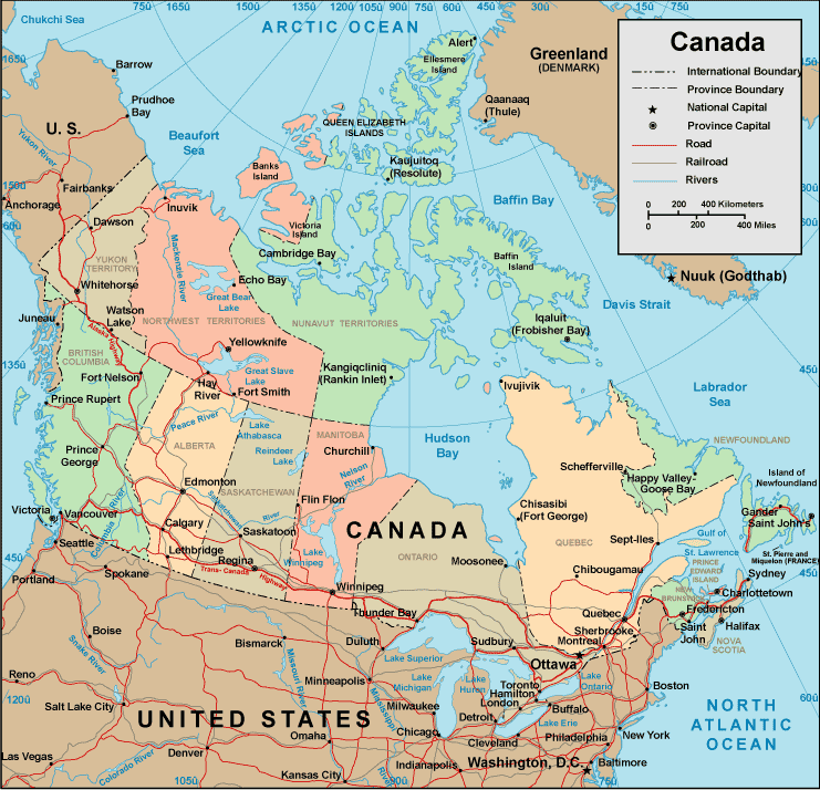
Above is a classic sketch brandishing the spatial relationships of this scene with a classic mixture of map components.
Of course, you may view this web page and work with it for a variety of purposes. Giving credit to this webpage is very much appreciated.
If you call for aid retrieving a map, a different kind of map, or call for a good tailor-made product, quickly contact us.
Order proper made to your specs maps from us. Custom maps made by YellowMaps consist of a full selection of map components, e.g.: nodes of transportation, elevation information, GPS coordinates, district municipalities, lakes, oceans, cliffs, or river features, etc. Map types run from urban to terrain, printable to printed, national to planning regions.
Good maps are clear, all-encompassing, and not unclear. Detail-Oriented map design by YellowMaps.
To order paper maps, like road atlases, maps of continents, or topographic maps, do not hesitate to dive into our online map store It contains tens of thousands items.
A lot of our maps get printed on-demand. They are always available.
Back to Canada map collection