Canada Maps Home > Canada Map Collection > Map of Manitoba
Printable Map of Manitoba
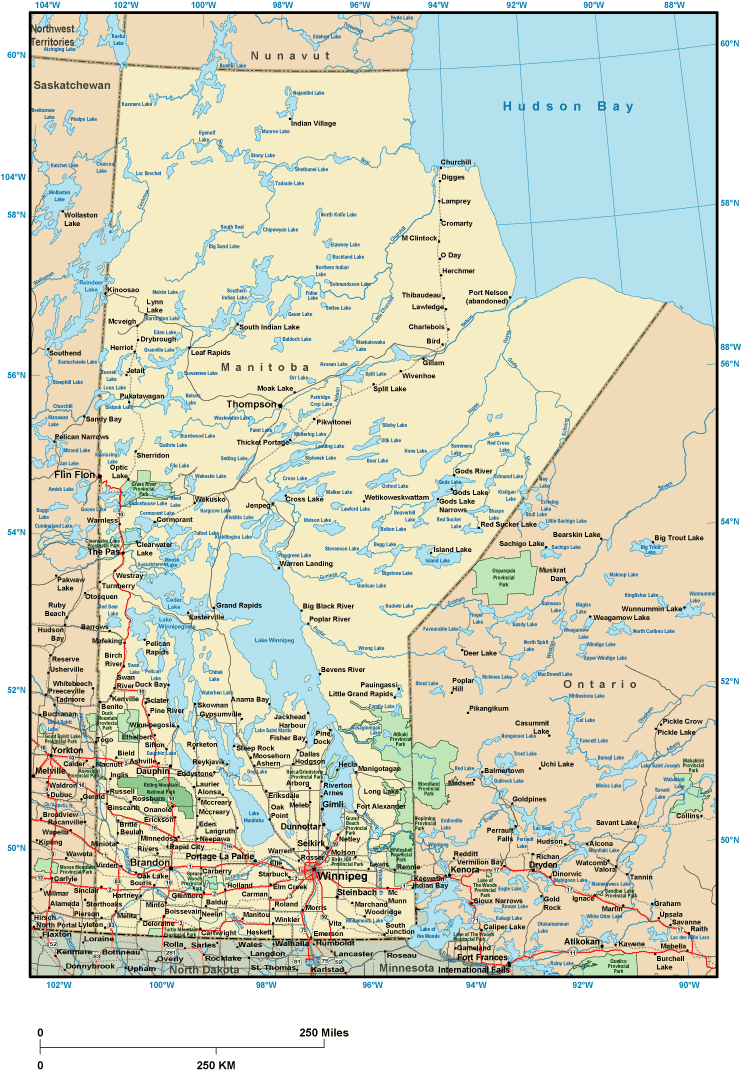
This map is a basic plot brandishing the geography of this neck of the woods with a classic mixture of map components.
Of course, you can download this file and employ it in your research. Linking back to this resource is always appreciated. Thank you.
Supposing you need support obtaining a map, a specific map, or need a proper tailor-made map, simply email YellowMaps.
Acquire good custom maps from us. Custom maps made by YellowMaps have a generous diversity of features, such as: avenues, elevation information, UTM coordinates, district municipalities, marine navigation features, sea features, geographical areas, or rapids, etc. Map types run from trail to tourist, navigation to general reference, global to state legislative districts.
Proper maps are exact, clear-cut, and not misleading. Skillful map production by YellowMaps.
To procure paper maps, for instance navigational charts, world maps, or topographic maps, simply dive into our map shop We carry thousands and thousands products.
Mapping the world. One step at a time.
Back to Canada map collection